

Panama is located in Central America, bordering both the Caribbean Sea and the Pacific Ocean, between Colombia and Costa Rica. Its location on the Isthmus of Panama is strategic. By 1999, Panama controlled the Panama Canal that links the North Atlantic Ocean via the Caribbean Sea with the North Pacific Ocean.
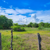
The dominant feature of the country's landform is the central spine of mountains and hills that forms the continental divide. The divide does not form part of the great mountain chains of North America, and only near the Colombian border are there highlands related to the Andean system of South America. The spine that forms the divide is the highly eroded arch of an uplift from the sea bottom, in which peaks were formed by volcanic intrusions.
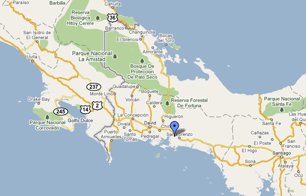
The mountain range of the divide is called the Cordillera de Talamanca near the Costa Rican border. Farther east it becomes the Serranía de Tabasará, and the portion of it closer to the lower saddle of the isthmus, where the canal is located, is often called the Sierra de Veraguas. As a whole, the range between Costa Rica and the canal is generally referred to by Panamanian geographers as the Cordillera Central.
The highest point in the country is the Volcán Barú (formerly known as the Volcán de Chiriquí), which rises to 3475 meters (11401 ft.). A nearly impenetrable jungle forms the Darien Gap between Panama and Colombia. It creates a break in the Pan-American Highway, which otherwise forms a complete road from Alaska to Patagonia.